Gravel tour for experts. Advanced skills required. Mostly asphalted surfaces. Suitable for every skill level
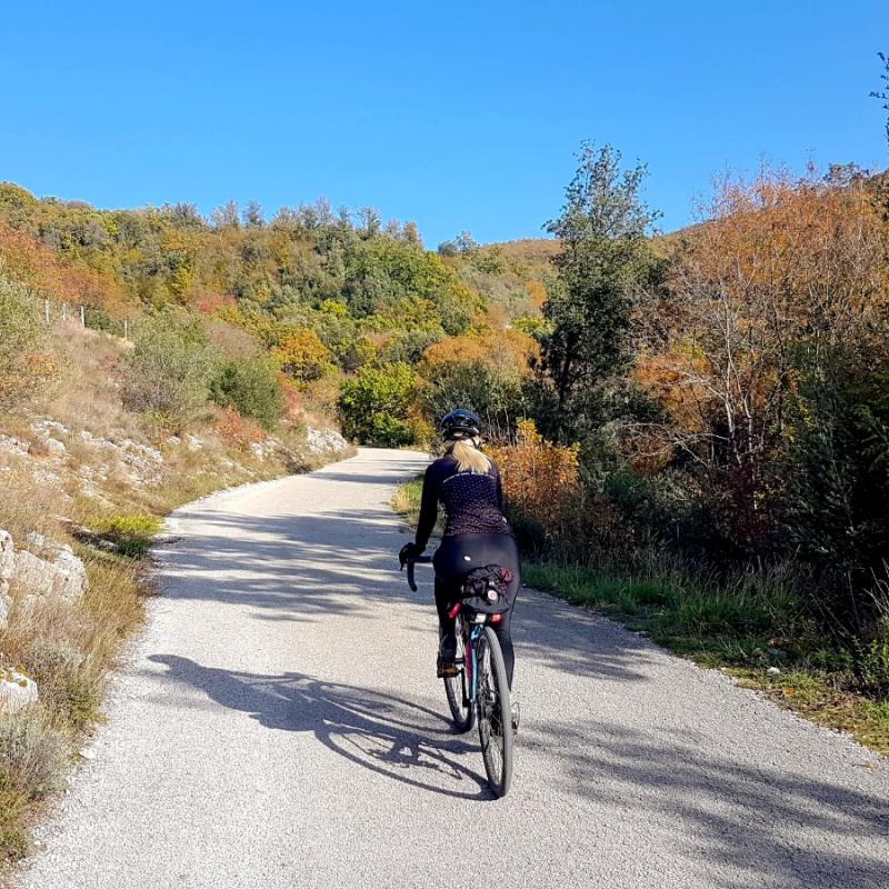
A route suitable for Gravel bikes, mostly dirt, with some asphalted connecting stretches but almost all on secondary roads with little traffic. It starts from Cesi and goes northwards and, right after Poggio Azzuano, it turns left to go downhill to the Sangemini Water Spring Park.
After a very short stretch in the direction of Acquasparta, it takes a dirt road uphill on the right that leads to the intersection where it goes straight on for Portaria. After passing the village (to visit and stop for a break at Lorenzo’s cafe) the ascent on the paved road begins that goes up to the Cimaforca Pass.
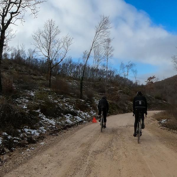
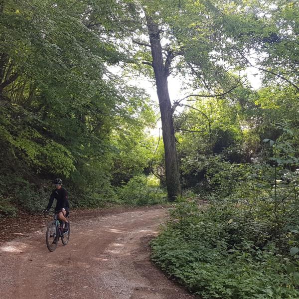
There is also an alternative dirt road from Portaria, but it is very steep and bumpy and not suitable for Gravel bikes. Once at the pass it turns left towards Canepine. The road is untarmacked and this stretch is particularly beautiful alternating flat and hilly sections.
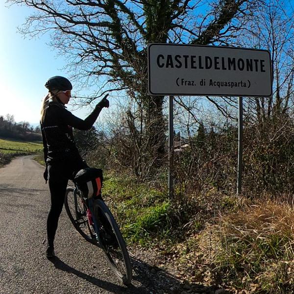
It arrives at the village of Casteldelmonte (also to visit) to then go downhill on a paved road and at the crossroads takes the regional road that, after a few kilometres of uphill pedalling leads towards Firenzuola.
Before the village (which is worth visiting by making a short detour from the route), it goes right in direction of Messenano (also this village is worth visiting) and proceeds on a dirt road mostly uphill to the village of Macerino. A visit to this village is strongly recommended, also because near the entrance gate there is a famous restaurant with cafe service.
It continues downhill and takes a narrow paved country road towards Pracchia immersed in the woods of Val Serra. After the railway underpass, it goes right in the direction of Terni and proceeds along the valley, on a paved road which is mostly downhill until Rocca San Zenone (this small hamlet is also worth a visit). After passing under the railway bridge the road goes along the right hand side of the Serra stream to then tackle a steep hill that goes up to Piedimonte. After a short, flat stretch it descends to the crossroads of five roads then turns right towards Cesi.
At the first important crossroads, it goes right towards Pozzo Saraceno taking a demanding climb of the last stretch of asphalted road which returns to Cesi. The route is demanding, both for the distance and altitude. It can easily be done in one day with mountain bikes (but with good training) or with eBikes (it is possible to recharge at Macerino at the restaurant, very helpful).
The tour is recommended in spring and autumn, but can also be done in winter and summer with favourable weather conditions. Avoid days after heavy rains.
| Distance | 56,1 km |
| Maximum altitude | 740 m |
| Minimum altitude | 170 m |
| Timing | 05:02 |
| Difficulty | Difficult |
